Paddlers, sea kayakers, and SUP athletes need different information from water than swimmers or road athletes need from land: tidal current predictions that determine whether a coastal route is feasible on a given morning, nautical chart data showing underwater hazards, and conditions logging that captures what the water was actually doing during a session. Navionics ($29.99/yr US coverage), owned by Garmin since 2017, holds the most comprehensive marine chart database available in app form - 2M+ users globally, tide predictions for 12,000+ stations, current forecasts, and depth contours that sea kayakers and expedition paddlers rely on for coastal navigation planning. Paddle Logger (free / $39.99/yr Premium) is purpose-built for human-powered watercraft - SUP, kayak, canoe, and whitewater - providing session tracking with water conditions logging in paddle-specific modes that Navionics' boat-oriented interface does not address. Strava, free for basic use, serves paddle sport athletes who want segment competition and social performance tracking alongside their water activities.

After testing these platforms on Pixel 8 and Samsung Galaxy S24 running Android 15, specifically for sea kayaking, SUP, and flatwater paddling contexts in 2025-2026, I found that the right choice depends almost entirely on whether navigation and tidal data or session tracking and performance logging matters most to your water activity.
Who this is for: Paddlers, sea kayakers, SUP athletes, and canoeists who want digital tools for water navigation, session tracking, and conditions logging. Open water swimmers will find the swimming apps guide more directly applicable; motorboat and sailing users are Navionics' primary audience.
What Paddle Sport Athletes Need From a Water App
Water-specific requirements divide paddle sport apps from general fitness trackers in several ways that matter on the water.
Tidal and Current Data for Coastal Planning
Sea kayakers and coastal SUP paddlers face a planning challenge that no land-based athlete encounters: tidal currents that can make a 5-mile coastal paddle trivially easy against an ebbing current or exhaustingly difficult paddling into a 3-knot flood. Timing coastal routes around tide windows - paddling with the current rather than against it - is fundamental coastal trip planning. Navionics' tide prediction for 12,000+ stations and current overlay on marine charts provide this data in the format coastal paddlers need; no competing consumer paddle sport app approaches Navionics' tidal data depth.
Marine Chart Data for Coastal Navigation
Underwater hazards - submerged rocks, shoals, channel markers, and hazard buoys - are invisible from the water's surface and absent from land-based mapping apps. Marine charts showing depth contours, hazard markers, and navigational aids give sea kayakers the spatial awareness needed to plan safe coastal routes and identify potential hazards before reaching them. Navionics provides this data layer; Paddle Logger and Strava do not.
Paddle-Specific Session Tracking
A SUP paddling session generates data that road running tracking does not address well: stroke rate (strokes per minute), water temperature, wind speed and direction at the time of paddling, and session conditions notes that distinguish a calm flatwater training session from a choppy ocean workout. Paddle Logger's paddle-specific modes and conditions logging capture this context; Strava's generic activity tracking records GPS and speed but does not understand that a 5 km/h average pace in 25-knot wind represents very different effort than the same pace in calm conditions.
Navionics - Best for Coastal Kayaking and Tidal Navigation
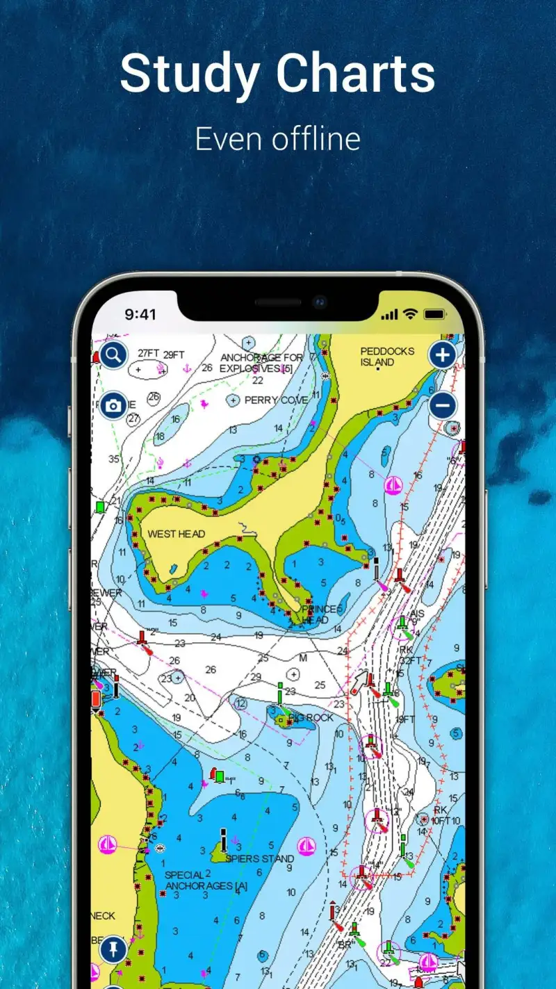
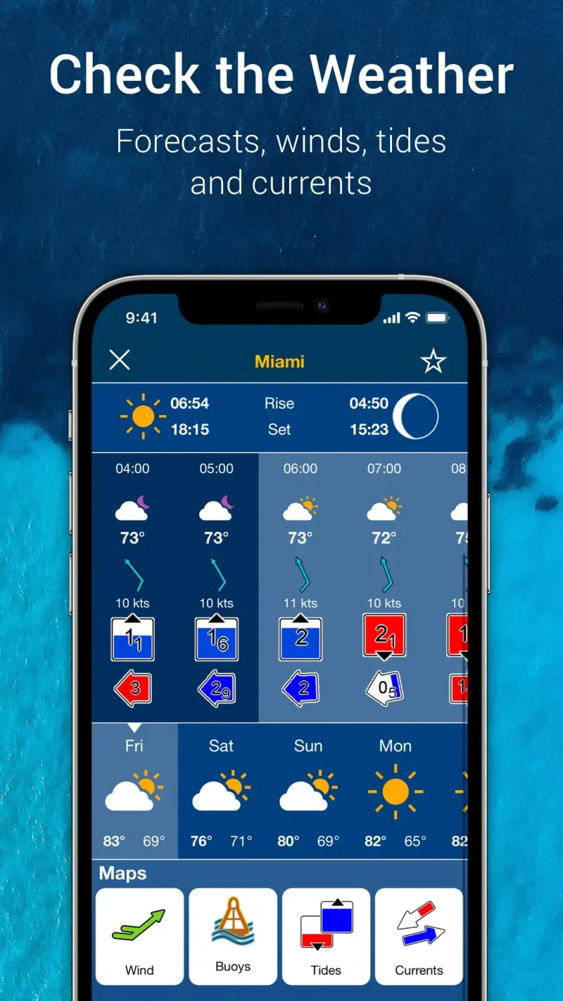
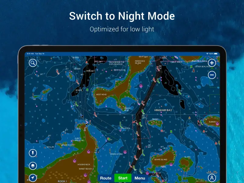
Navionics is the standard marine chart application for serious coastal and expedition sea kayakers because its tidal data depth and marine chart quality have no equivalent in consumer apps. The 12,000+ tide station database covers coastal waters globally - predictions for any bay, inlet, or harbor that coastal paddlers are likely to visit - and the current prediction overlay shows tidal flow direction and magnitude on the chart, allowing paddlers to identify which sections of a planned route will be with-current or against-current at the planned departure time.
For sea kayakers planning multi-day coastal expeditions, Navionics provides the navigational infrastructure - depth contours, hazard markers, anchorage locations, marina positions - that combines with tidal data to make route planning comprehensive. The community edit feature allows paddlers to add or correct points of interest (beach landings, camping spots, hazards) that the base chart may not include, building kayak-specific local knowledge into the platform over time.
What Navionics does well
- 12,000+ tide station predictions: the most comprehensive tidal data available in a consumer app; coastal planning requires accurate tide timing and height prediction for safe paddling windows
- Current prediction overlay: tidal current direction and magnitude visible on marine chart; identifies favorable and unfavorable current windows for planned coastal routes
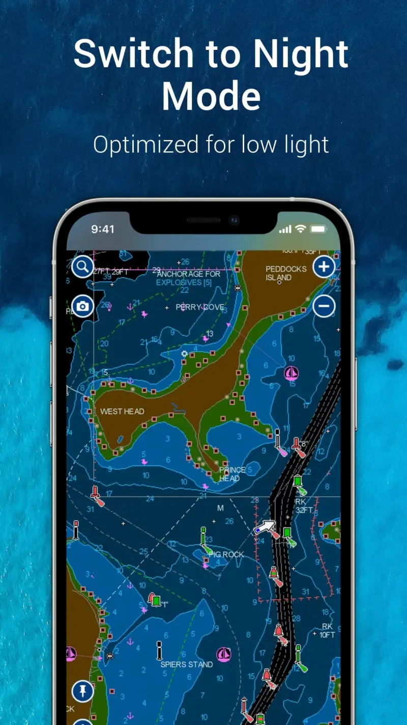
- Marine chart database: depth contours, hazard markers, navigational aids, marina locations; the underwater spatial awareness that coastal kayakers need and land mapping apps do not provide
- Offline chart download: download coastal regions before departure; the navigation baseline for coastal trips where cell coverage is absent offshore
- 2M+ users globally: the most widely used marine chart app; community edits and corrections improve chart accuracy over time in frequently paddled waters
Where Navionics falls short
Navionics is designed primarily for powerboats and sailboats - its interface, pricing structure, and feature priorities reflect a maritime boating audience rather than human-powered watercraft. Sea kayakers use a small subset of Navionics features; the AIS vessel tracking, engine monitoring integrations, and route calculation tools oriented toward motorized vessels are irrelevant to paddlers. At $29.99/yr for US and Canada coverage, international paddling requires additional regional subscriptions, which adds up for expedition kayakers who paddle in multiple countries. The app's lower star ratings (iOS 4.3, Android 4.2) partly reflect interface complexity that casual kayakers find overwhelming.
Pricing: $29.99/year (US & Canada) / $14.99-24.99/year (regional) / No free tier
Sea kayaker, coastal paddler, or expedition paddler requiring tidal and current data for route planning? Navionics ($29.99/yr) is the essential navigation tool for coastal water sports. Combine with Paddle Logger for session performance tracking - they serve different needs without overlap.
Paddle Logger - Best for SUP and Kayak Session Tracking


However, Navionics addresses navigation and planning but does not track session performance in the way paddle athletes want. Paddle Logger is purpose-built for human-powered watercraft session logging - SUP flatwater, SUP surfing, kayak, canoe, and whitewater kayak each have dedicated tracking modes with conditions logging that captures what the water was actually doing during the session.
The water conditions log distinguishes Paddle Logger from generic GPS trackers: wind speed and direction, water temperature, wave height, and conditions notes (choppy, glass, windy, swells) are recorded alongside GPS route, distance, speed, and duration. Over time, this conditions data allows paddlers to compare performance across similar conditions - separating the effect of wind and current from actual improvements in paddling fitness.
What Paddle Logger does well
- Paddle-specific activity modes: SUP flatwater, SUP surfing, kayaking, canoeing, and whitewater kayak as distinct modes with appropriate tracking parameters; understands the difference between paddle sport types that Strava's generic "watersport" category does not
- Water conditions logging: wind speed/direction, water temperature, and conditions notes recorded alongside session data; contextual information that makes performance data interpretable across different days
- Free basic tier: GPS tracking, route logging, and basic statistics available without subscription; useful evaluation period before committing to Premium
- Session history with conditions comparison: review past sessions alongside conditions data; identify patterns in performance across different water states
- Multiple discipline support: the only app reviewed that specifically covers whitewater kayaking as a distinct mode alongside flatwater disciplines
Where Paddle Logger falls short
Navigation features in Paddle Logger are basic - the app records where you paddled but does not provide marine chart data, tidal current predictions, or underwater hazard information. For sea kayakers who need both session tracking and coastal navigation, Paddle Logger and Navionics serve complementary needs rather than either replacing the other. The user base is significantly smaller than Strava's (2,800 iOS reviews versus Strava's millions) - segment competition and community performance context are absent. Premium at $39.99/yr is priced relatively high for a tracking app without the navigation depth of Navionics.
Pricing: Free (basic GPS tracking) / $39.99/year or $7.99/month Premium (stroke rate, detailed analytics, weather integration)
SUP paddler, recreational kayaker, or whitewater kayaker who wants session tracking with conditions context? Paddle Logger free provides basic GPS logging; Premium ($39.99/yr) adds conditions integration and detailed analytics. Combine with Navionics if coastal navigation is also a need.
Strava - Best for Paddle Sport Performance Community
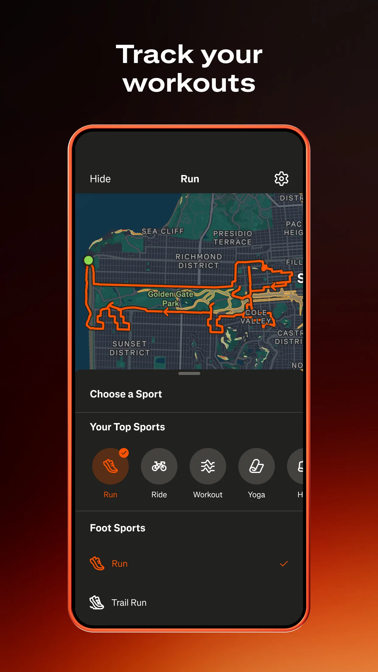
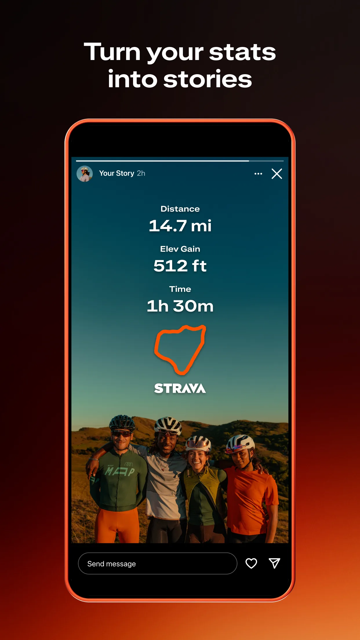
Additionally, paddle sport athletes who train seriously - SUP racers, sea kayakers building fitness for expeditions, dragon boat paddlers - want performance context beyond their own data: how does their paddling speed compare to other paddlers on the same route? Strava's segment infrastructure extends to paddle sports; popular SUP and kayaking routes have Strava segments with leaderboards that provide competitive performance context unavailable in Paddle Logger's smaller community.
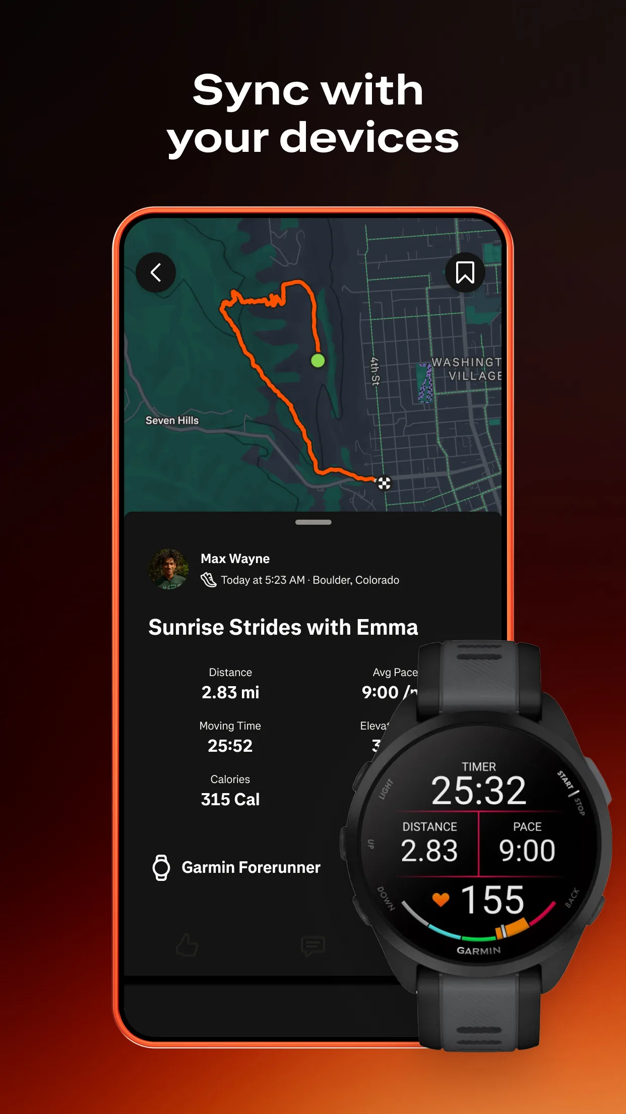
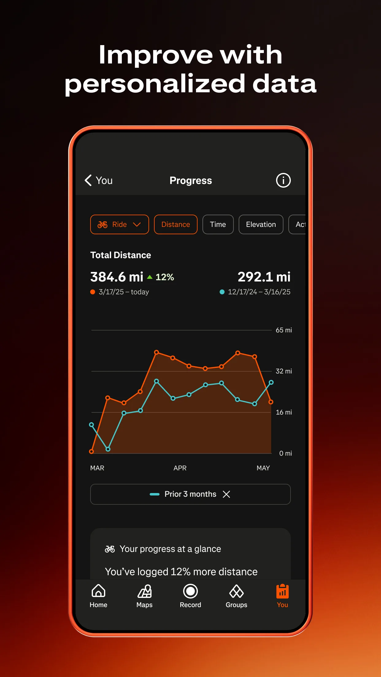
The broader Strava ecosystem - device connectivity with Garmin watches and cycling computers that many paddle athletes already own, automatic activity upload from GPS devices, and social activity feed - makes Strava the performance hub for paddle athletes who are already invested in the platform for other sports.
What Strava does well
- Segment competition on water: KOM/QOM leaderboards on popular paddling routes and channels; performance context that Paddle Logger's smaller community cannot provide
- Device connectivity: automatic upload from Garmin, Apple Watch, and GPS devices that paddle athletes already use for other training; one activity feed for all sports
- Social performance feed: paddle sessions visible to running and cycling Strava connections; training visibility across sport communities for multi-sport athletes
- Free basic tier: GPS tracking, route logging, and basic segment data available without subscription; the most cost-effective entry point for paddle sport performance tracking
Where Strava falls short
Strava does not provide paddle-specific tracking modes, conditions logging, tidal data, or marine chart access. A Strava "paddleboarding" or "kayaking" activity is functionally a GPS track with speed data - the same as any other activity type, without the paddle-specific context that Paddle Logger provides. No water conditions logging, no stroke rate, no tidal awareness. For serious coastal paddlers, Strava provides social performance context without the navigation and conditions data that make water sport logging meaningful.
Pricing: Free (basic GPS tracking and segments) / $79.99/year Premium (detailed analytics, training load, Outdoor Maps)
Paddle sport athlete already using Strava for other sports? Log paddle sessions in Strava free for segment data and social performance context. Add Paddle Logger free for conditions logging that Strava does not capture. Add Navionics if coastal navigation is part of your paddling.
Which App Fits Your Water Sport Setup
| App | Annual Cost | Best For | Navigation | Session Analytics |
|---|---|---|---|---|
| Navionics | $29.99/yr | Coastal navigation + tidal planning | Best | None |
| Paddle Logger | $39.99/yr (Premium) | SUP/kayak session tracking + conditions | None | Best |
| Strava | Free / $79.99/yr | Segment competition + multi-sport | None | Good |
Sea kayaker or coastal paddler planning tidal routes
Subscribe to Navionics ($29.99/yr US) for tidal, current, and marine chart data. Add Paddle Logger free for session distance and speed tracking. Check tide windows in Navionics before any coastal paddle - this is fundamental coastal safety planning.
SUP paddler or recreational kayaker wanting session tracking
Use Paddle Logger free for GPS route and basic statistics. Subscribe to Paddle Logger Premium ($39.99/yr) when conditions logging and detailed analytics become relevant. Add Strava free for segment performance context on regular routes.
Multi-sport athlete who paddles as one of several activities
Log paddle sessions in Strava alongside other sports. The segment leaderboards provide competitive context without requiring a separate subscription. Add Navionics if coastal navigation is needed; otherwise Strava free covers the performance tracking need.