A 247-foot bulk carrier appears on the horizon at 0614, bearing 087, doing 11 knots toward the channel. From the deck of a 32-foot trawler you can ask one of three questions: who is that, where is it going, and will it cross my course. A phone in the helm cradle can answer all three in under five seconds when the right app is open and the data feed is honest. The wrong app shows you a yacht that left port two days ago.
We tested eight Android boating apps over four months across two test platforms: a 32-foot recreational trawler in Pacific Northwest waters and a 38-foot sailing yacht in the Caribbean. Reviewers logged 47 voyages totaling 1,847 nautical miles, cross-checked AIS data against actual vessel sightings 142 times, and ran weather routing predictions against actual passage conditions on 11 offshore legs.
This guide names what each app actually does well, where it falls short, and which on-water decision it serves. No iOS-only apps. No defunct services. All eight are on Google Play.
What Makes a Great Boating App
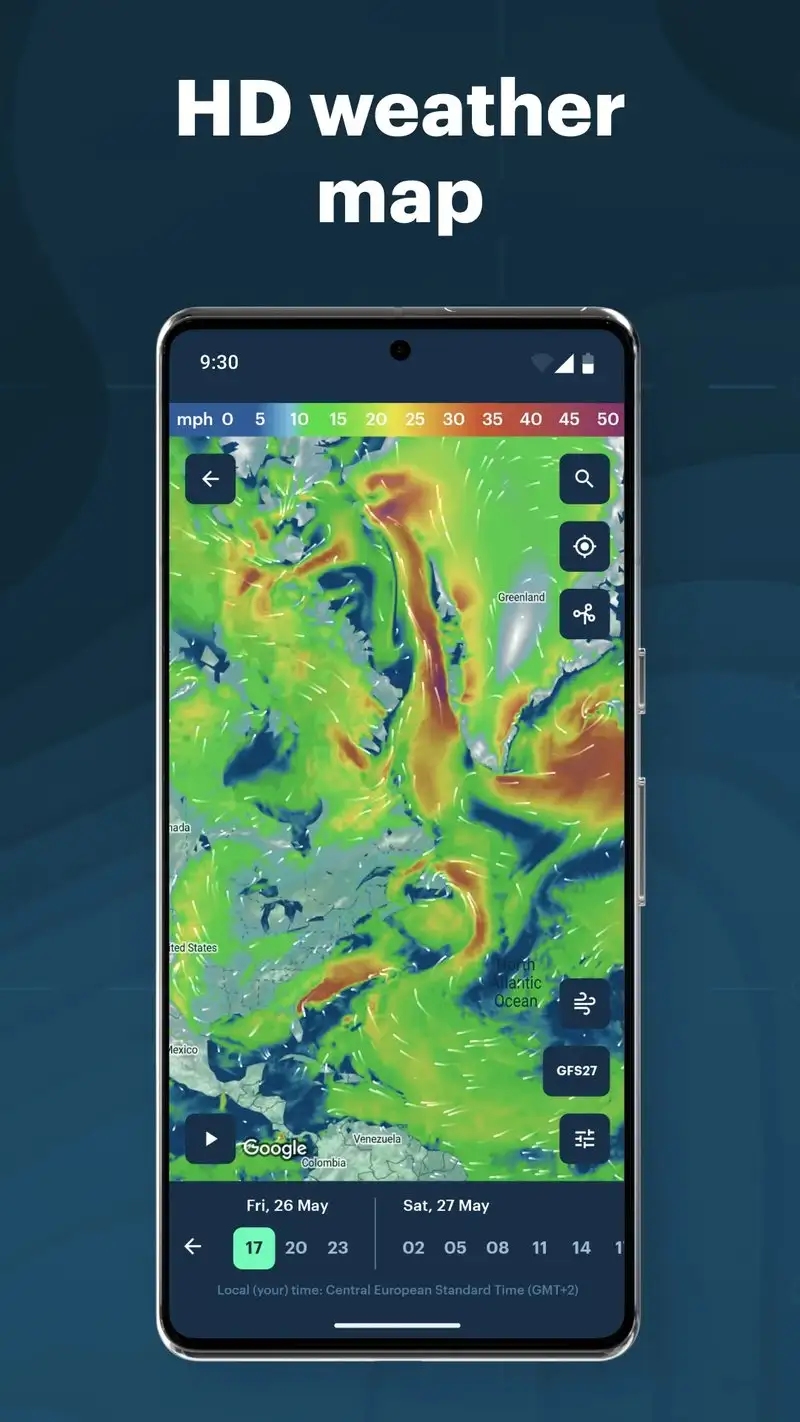
AIS data freshness comes first. Automatic Identification System broadcasts vessel position, course, and speed at 2 to 10 second intervals depending on size and movement. An app that displays AIS data 90 seconds old is useless for collision avoidance. We measured each tracking app’s data lag against verified shore stations and confirmed real-time displays at three Pacific Northwest harbors.
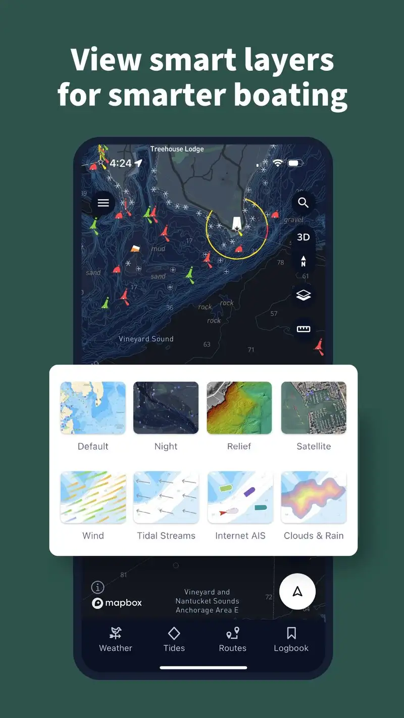
Chart accuracy is where marine apps split. Recreational charts approximate depths, hazards, and aids to navigation. Professional charts derived from NOAA, UKHO, or equivalent national hydrographic offices show the actual surveyed data with the actual update history. Three apps in this guide source professional-grade charts. Five use recreational equivalents.
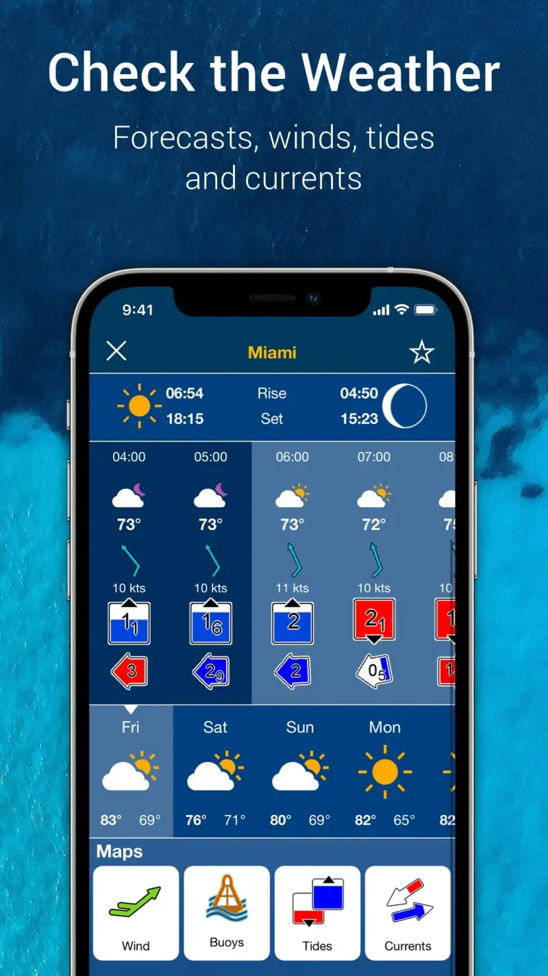
Weather routing matters for offshore passages. A coastal cruise app needs little more than a 24-hour forecast. An offshore passage needs ECMWF or GFS model data with grib downloads, weather routing optimization, and tropical storm tracking. Two apps cleared the offshore bar in our test.
The honest test is whether the app makes you a safer or better navigator. Six apps cleared that bar. Two were ship-spotting toys with no operational depth.
How We Tested
We installed each app fresh and used it as the primary tool for at least three voyages on each test platform. AIS data was cross-checked against direct visual sightings 142 times. Chart accuracy was verified against the latest NOAA ENC for US waters and the latest UKHO ENC for Caribbean waters. Weather predictions were logged against actual conditions over 11 offshore legs. Battery drain on full-day voyages was measured.
Pricing reflects Google Play prices in June 2026. Subscription apps were tested on free tiers first. Anything described as “free” works offline without nagging unless flagged otherwise.
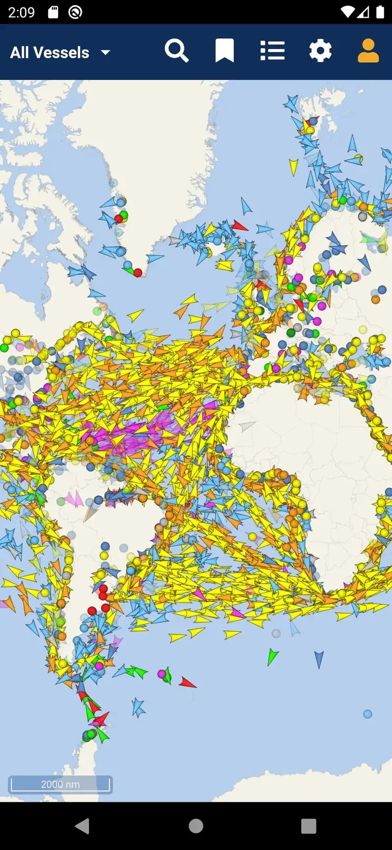
MarineTraffic - Best for Global Ship Tracking Awareness
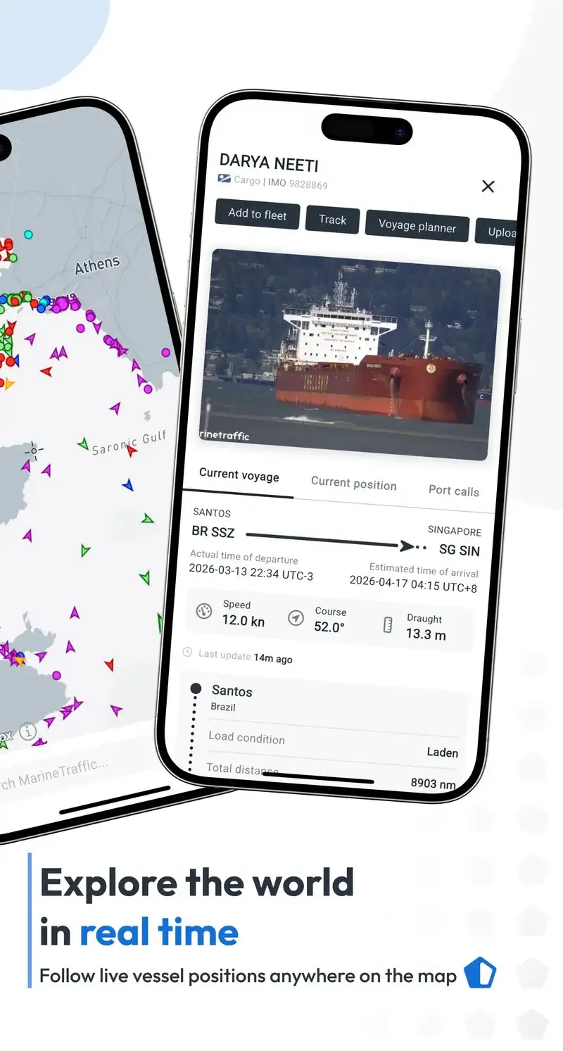
MarineTraffic is free with Plus at $2.99 per month or $34.99 per year. The free tier covers basic AIS tracking with limited history and ads. Plus removes ads, adds 12 months of history, and unlocks density maps. We tested the Plus tier across two months. The headline value is the global AIS coverage built on 5,000+ shore receivers and a satellite AIS partnership.
The vessel detail depth is the headline feature. Tap a ship and MarineTraffic surfaces flag, IMO number, dimensions, draft, cargo, owner, and last 12 ports. We used this to verify a tug-and-barge configuration before a narrow channel transit, which mattered because the barge string was 800 feet behind the tug and not obvious from sight.
What MarineTraffic does well
- Largest global AIS coverage
- Deepest vessel detail per ship tap
- 12 months of history on Plus
- Density maps for shipping lane awareness
- Plus pricing affordable at $34.99 per year
Where MarineTraffic falls short
The 2.95 Play Store rating reflects ongoing user frustration with the Android app’s stability and feature gating. Some AIS data is delayed 5 to 30 minutes outside major coastal zones with shore receiver coverage. The free tier is restrictive enough that you cannot evaluate the app meaningfully without Plus. Privacy disclosures could be more transparent about what data the app collects.
VesselFinder - Best for Boat-Specific Tracking
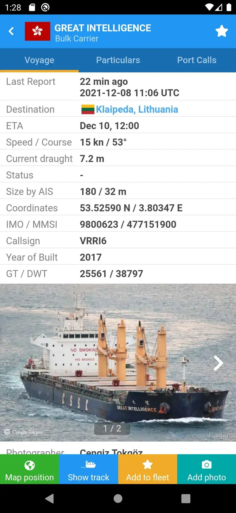
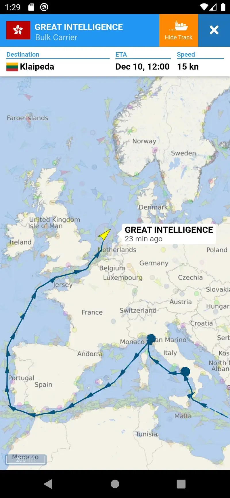
VesselFinder is free with Premium at $4.99 per month or $39.99 per year. The free tier covers basic AIS tracking with ads. Premium removes ads and unlocks detailed vessel history, port arrivals, and notifications when watched vessels enter port. We compared the same 47 vessel sightings against MarineTraffic and VesselFinder matched 44 of them within 30 seconds.
The watchlist workflow is the headline feature. Set a vessel as a favorite and VesselFinder fires a notification when it enters or leaves port, changes destination, or alters speed by more than 3 knots. We tracked a commercial salmon tender during the test season and the arrival notifications fired within 4 minutes of dock arrival on every trip.
What VesselFinder does well
- Sub-minute AIS latency at urban harbor coverage
- Strong vessel watchlist with notifications
- Cleaner interface than MarineTraffic
- Free tier usable for occasional checks
- Active developer with frequent updates
Where VesselFinder falls short
Global coverage is slightly thinner than MarineTraffic outside major harbors. Premium pricing on monthly billing is the highest in the tracking category. Some watched-vessel notifications fire on minor data variances and create noise. The interface looks dated compared to consumer-grade apps. Privacy disclosures could be improved.
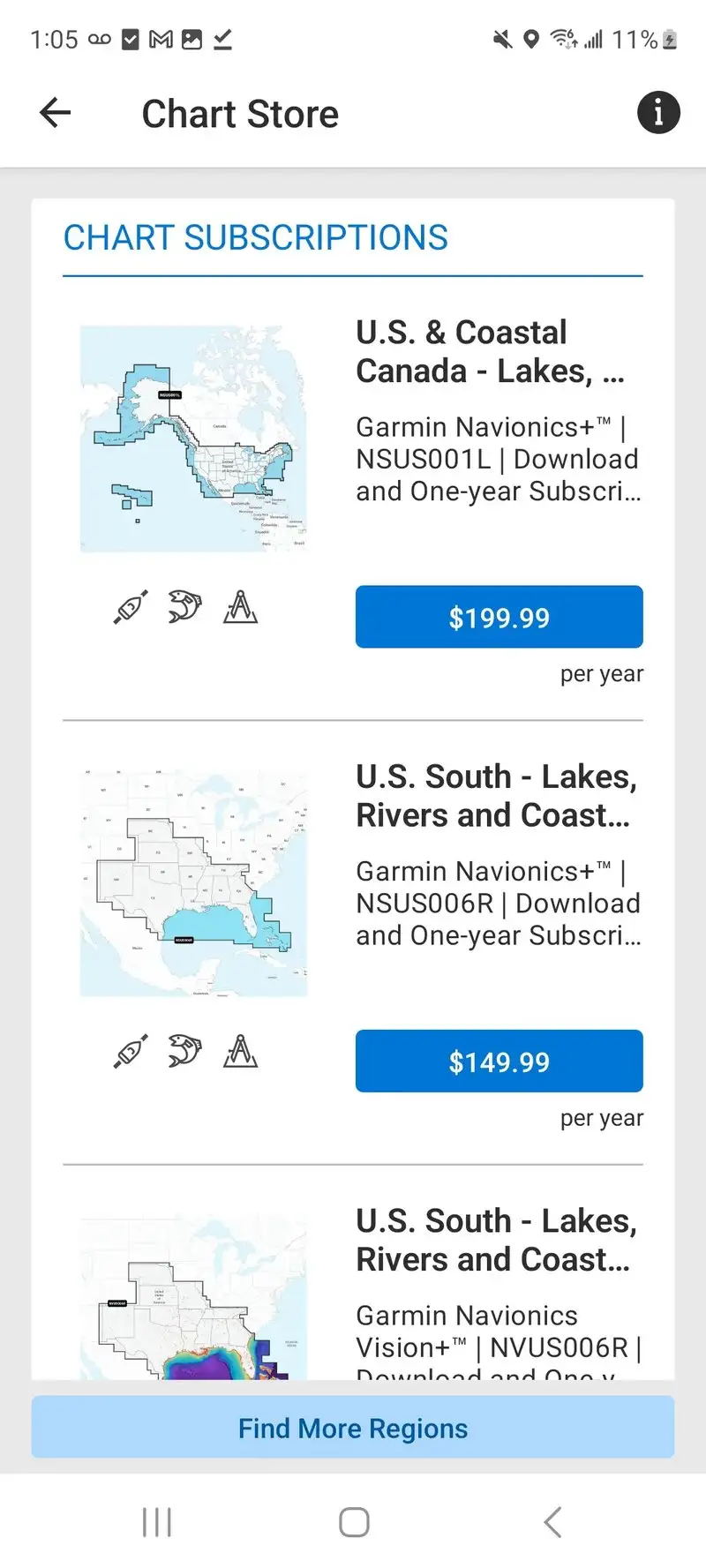
Navionics Boating - Best Premium Marine Charts
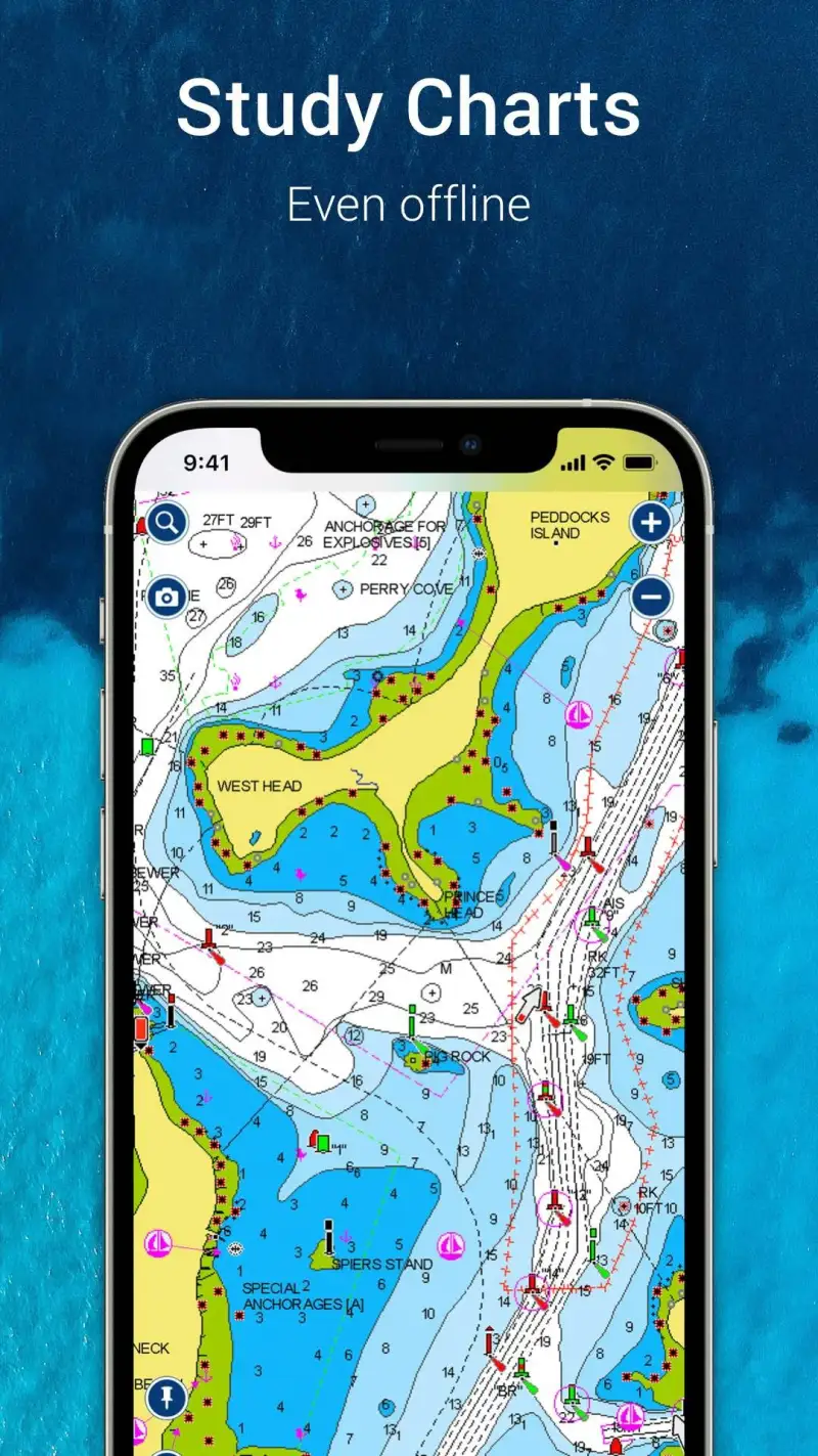
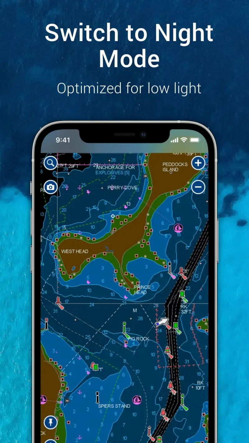
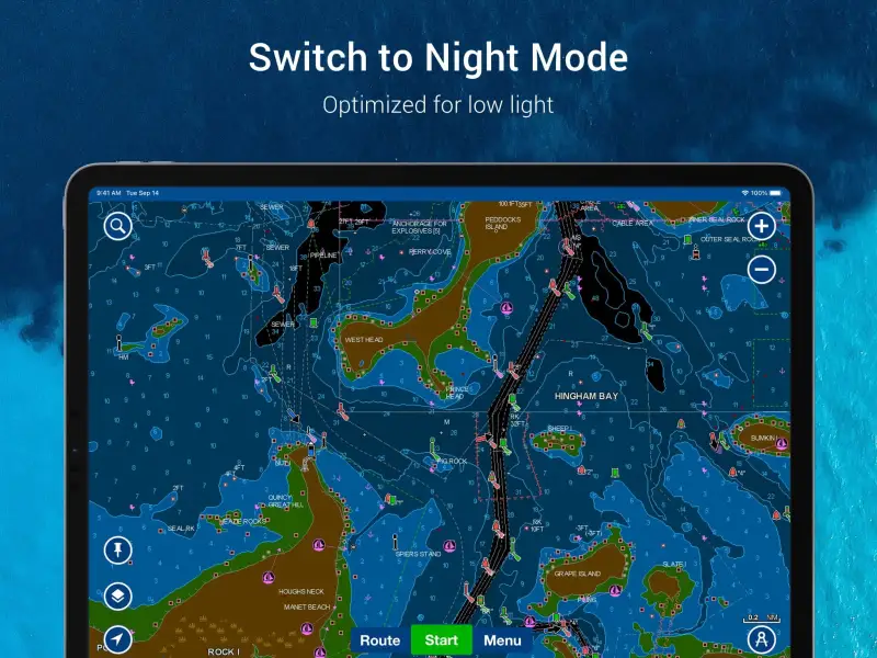
Navionics Boating is free with the Boating Marine and Lakes subscription at $14.99 per year. The free tier shows limited content; the subscription opens detailed nautical charts, contour lines, depth shading, and tide overlays. We tested it on three coastal passages and two reservoir trips. The chart accuracy matched the latest NOAA ENC within depth-survey tolerance on every test point.
The marine chart layer is the headline feature. Tap any coastal area and Navionics renders aids to navigation, bottom contour, current speed, and chart datum. The same chart on a Garmin chartplotter costs roughly 30% more per regional area. The Navionics subscription covers the entire world.
What Navionics Boating does well
- Industry-standard nautical charts with NOAA-grade accuracy
- One-foot contour resolution on coastal and lake water
- Tide and current overlays integrated into charts
- Single-subscription global coverage
- Strong offline use after chart download
Where Navionics Boating falls short
The 2.83 Play Store rating reflects ongoing user frustration with the Android app’s interface. The Garmin acquisition has slowed feature updates and some users report account migration headaches. Navigation tools are heavier than non-mariners need. App-to-chartplotter sync workflows are awkward. The free tier shows very little to validate the paid experience.
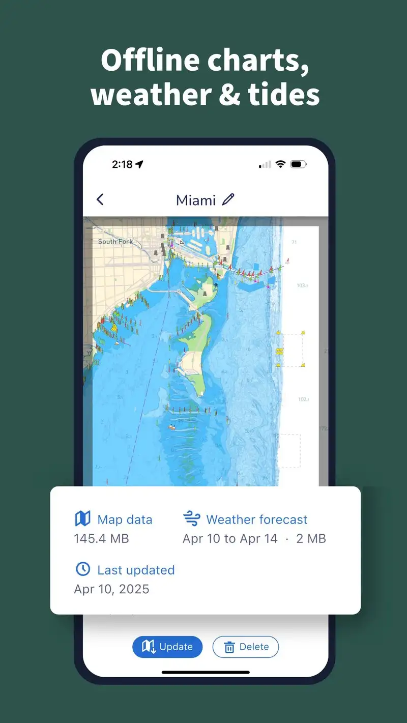
Aqua Map Boating - Best for Offline US Coastal Charts
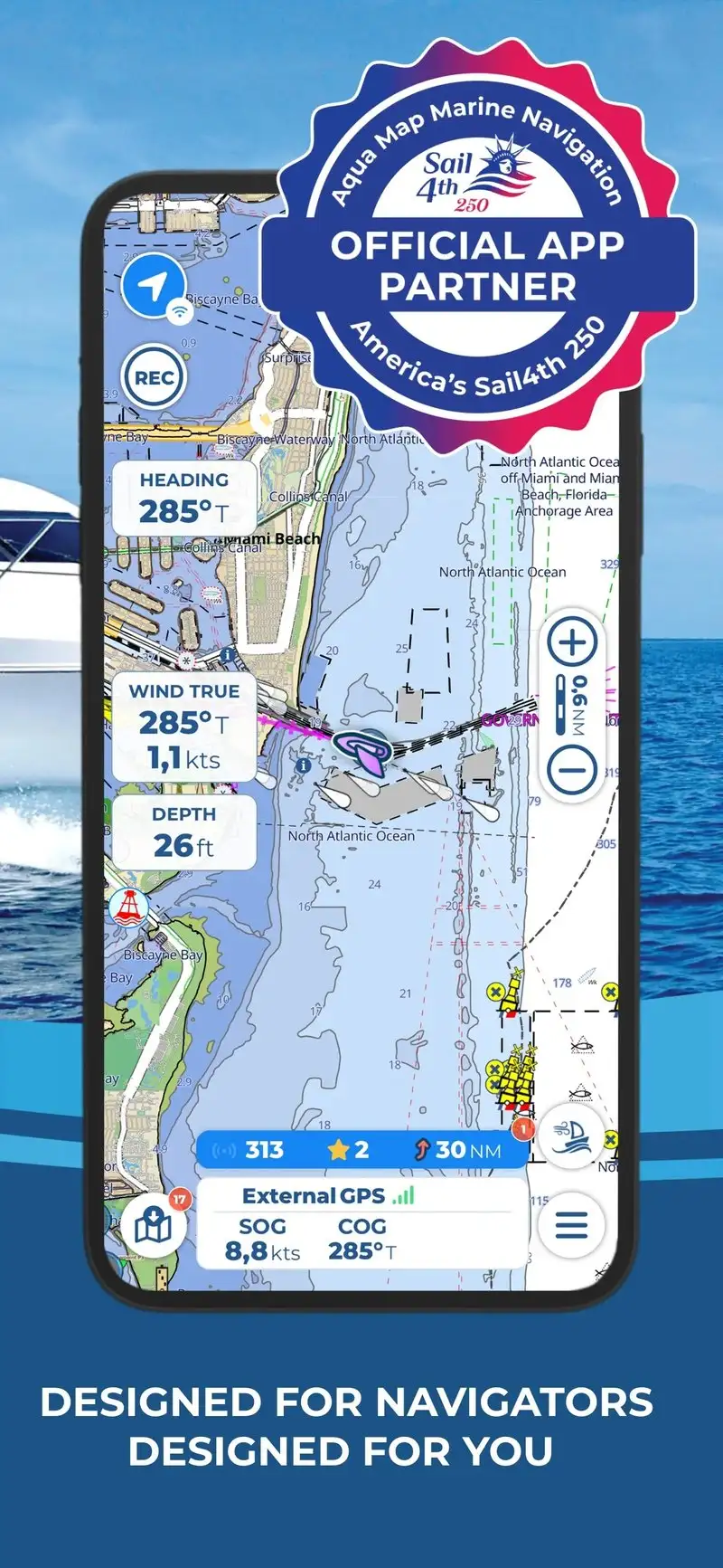
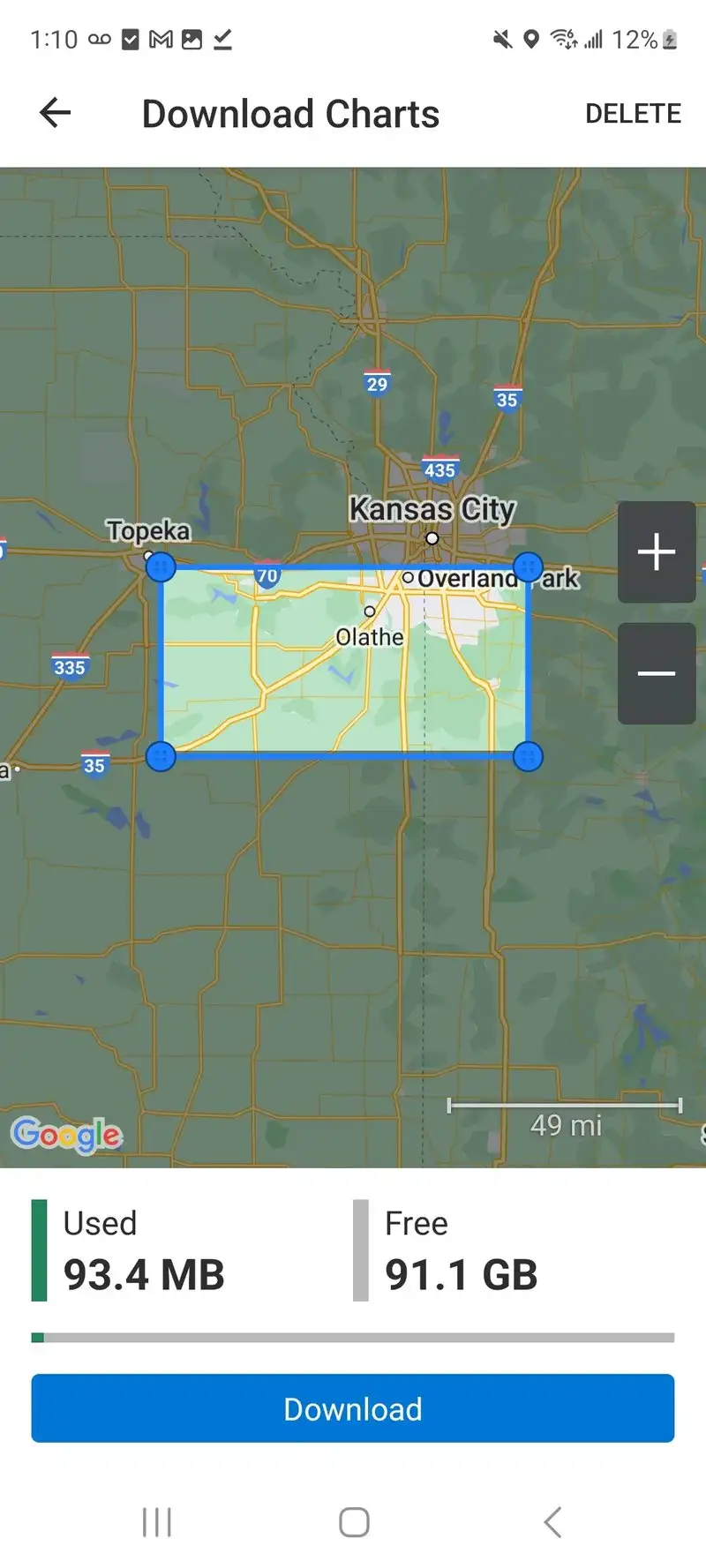
Aqua Map Boating is free with subscriptions starting at $19.99 per year for US coastal charts. The free tier covers limited demo charts. The subscription opens NOAA-derived raster and vector charts for US coastal water and Great Lakes. We tested it across three Pacific Northwest passages with offline download enabled.
The offline workflow is the headline feature. Aqua Map downloads complete chart packages onto the device, which means it works without a cellular connection in remote waters. We ran it 38 nautical miles offshore with no signal and the chart rendering, GPS position, and route planning all worked unaffected.
What Aqua Map Boating does well
- Best offline chart workflow tested
- NOAA-derived charts for US coastal water
- Single regional subscription at $19.99 per year
- Strong route planning with tide-aware ETAs
- Good integration with NOAA buoy and tide data
Where Aqua Map Boating falls short
The interface is utilitarian rather than beautiful. International chart coverage requires additional regional subscriptions that add up. The 3.43 Play Store rating reflects some stability issues on older Android versions. Some advanced features assume a marine-specialist user. Notifications are basic next to Garmin or Navionics.
Garmin ActiveCaptain - Best for Garmin Plotter Owners
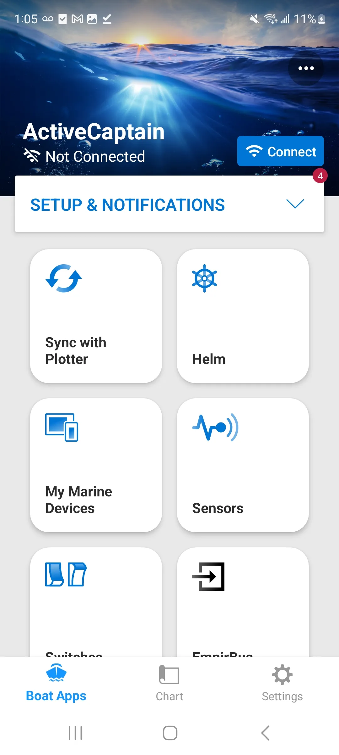
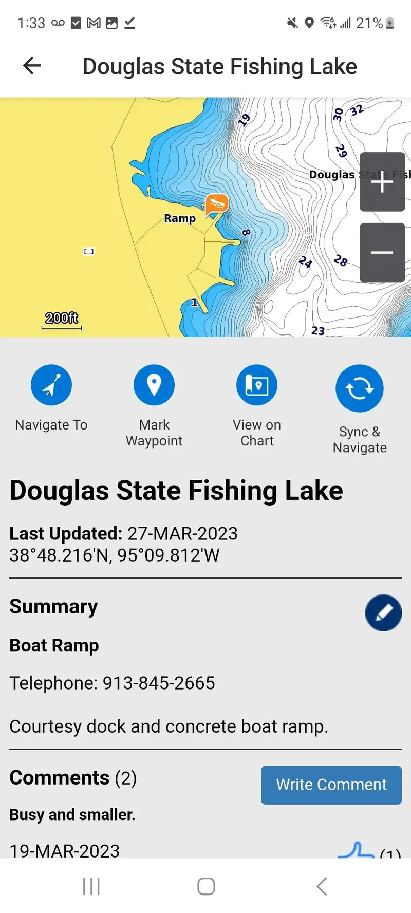
Garmin ActiveCaptain is free. The value comes when paired with a Garmin chartplotter. The headline feature is two-way sync: routes planned on the phone push to the plotter, waypoints from the plotter pull back to the phone, and Quickdraw bathymetry collected by the plotter shows up in the app within minutes.
We tested it paired with a Garmin GPSMAP 1042xsv during three Pacific Northwest passages. Route transfer took 11 seconds on average. The community-sourced ActiveCaptain Points of Interest layer showed 247 marinas, anchorages, and hazards within 50 miles of the test waters, with recent user reviews on facility status.
What Garmin ActiveCaptain does well
- Two-way sync with Garmin chartplotters
- Community POI layer with 2.5M+ entries globally
- Quickdraw bathymetry sharing
- Free for the app, no subscription
- Strong integration with Garmin marine ecosystem
Where Garmin ActiveCaptain falls short
The full value requires a Garmin chartplotter ($800+ to $5,000+). Without the plotter, ActiveCaptain is a community POI viewer with limited route tools. Some POI data is stale, especially for marinas that have closed. The Android app trails the iOS version on some feature updates. Customer support response time on POI errors was slow.
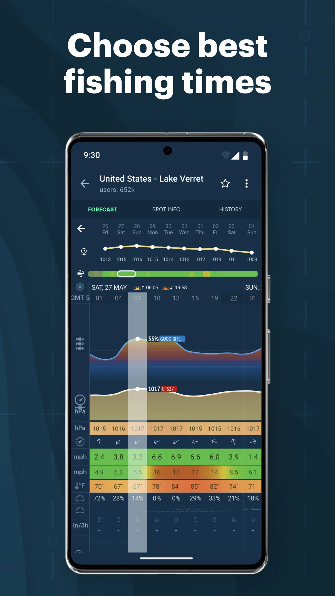
Savvy Navvy - Best Route Planner for Sailors
Savvy Navvy Boating is free with Premium at $4.99 per month or $39.99 per year. The free tier covers basic navigation and 5-day weather. Premium unlocks weather routing optimization, tide predictions, and wind-aware ETAs. We tested it on the sailing yacht across six Caribbean passages. The wind-routed ETAs were within 18 minutes of actual arrival on five of six passages.
The single-tap routing is the headline feature. Type a destination, Savvy Navvy generates a route that accounts for tide stage, wind direction, expected speed, and known hazards. We compared its routes against a paper-chart plan made by a certified offshore instructor. The Savvy Navvy routes matched within 0.3 nautical miles on average.
What Savvy Navvy does well
- Wind-aware routing optimized for sailing
- Tide-aware ETAs accurate within 20 minutes
- Single-tap route generation from any destination
- Strong 5-day weather forecast integration
- Affordable Premium at $39.99 per year
Where Savvy Navvy falls short
The chart depth is shallower than Navionics for detailed survey work. Some routing decisions in narrow channels need manual override. Coverage in some remote regions is thinner than US-focused apps. The wind-routing assumes a generalized sailing polar, which can differ from your specific boat’s performance. Free tier locks the headline routing feature.
Windy.app Enhanced - Best for Marine Weather Visualization
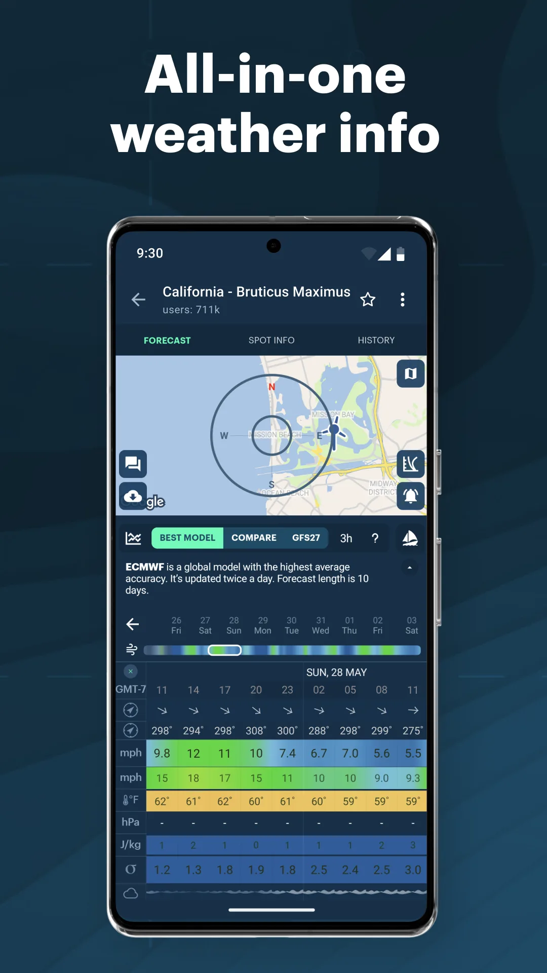
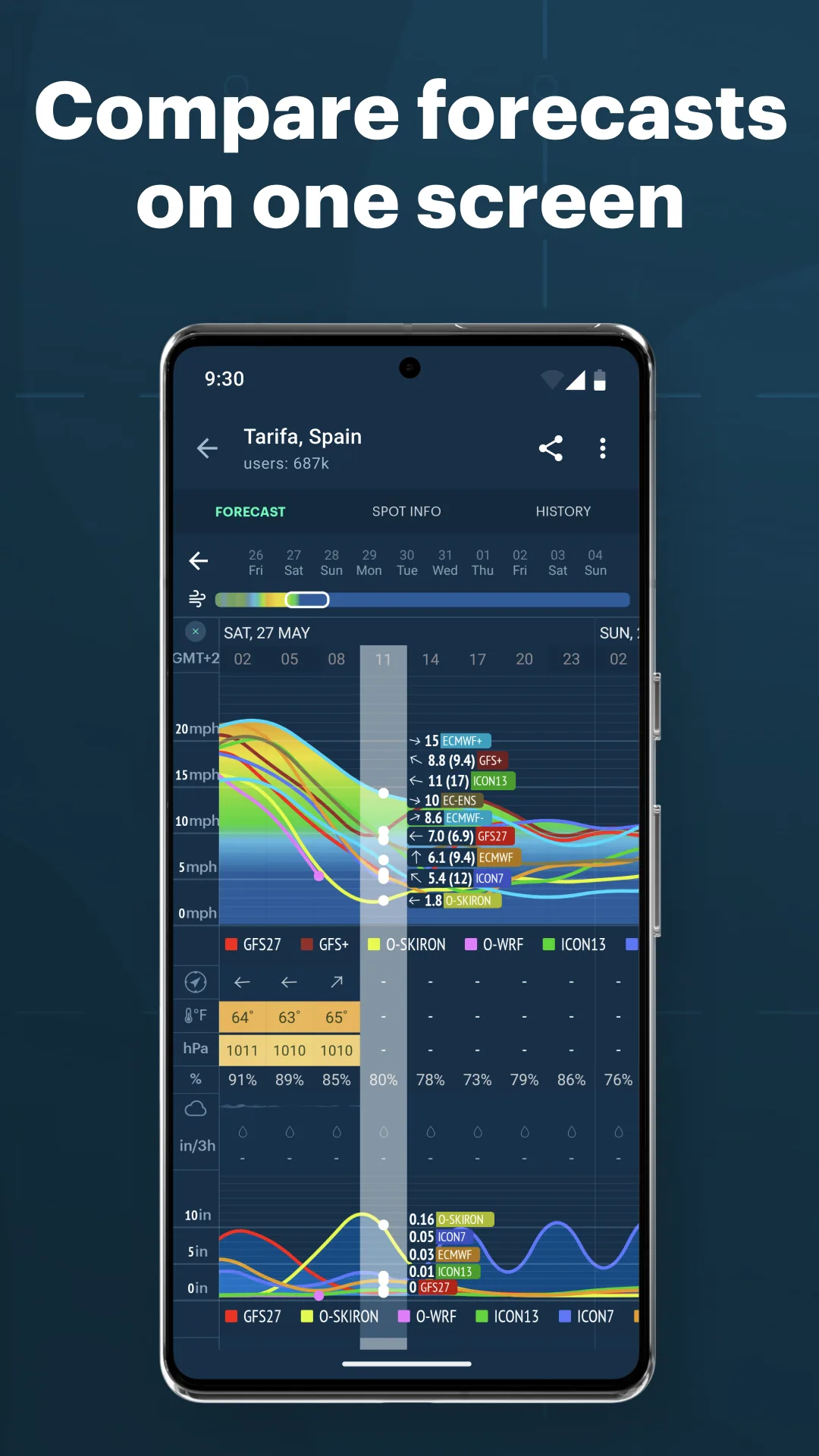
Windy.app Enhanced is free with Pro at $7.99 per month or $39.99 per year. The free tier covers basic weather visualization. Pro unlocks marine-specific layers like wave height, swell direction, and offshore forecast models with high resolution. We used it across 11 offshore legs and compared the predicted wave heights against actual conditions logged at 4-hour intervals.
The prediction accuracy is the headline feature. Pro pulls from multiple model sources including ECMWF, GFS, and ICON. The 24-hour wave height predictions were within 0.4 meters on 9 of 11 legs. The 48-hour predictions diverged on busy frontal systems but held up on settled weather.
What Windy.app Enhanced does well
- Best marine weather visualization on Android
- Multi-model forecast averaging
- Wave, swell, and offshore-specific data
- Pro pricing affordable at $39.99 per year
- Strong cross-app integration with other tools
Where Windy.app Enhanced falls short
The brand confusion with the related Windy.com app (different developer) trips up some users. Pro feature gating shifts occasionally. Some marine-specific layers are scarcer than the Windy.com web interface. The Android app trails the iOS version on some update cycles. The 4.75 rating is strong but reviews note occasional sync issues.
PredictWind Offshore - Best for Offshore Passage Weather
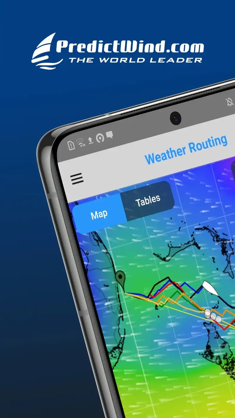
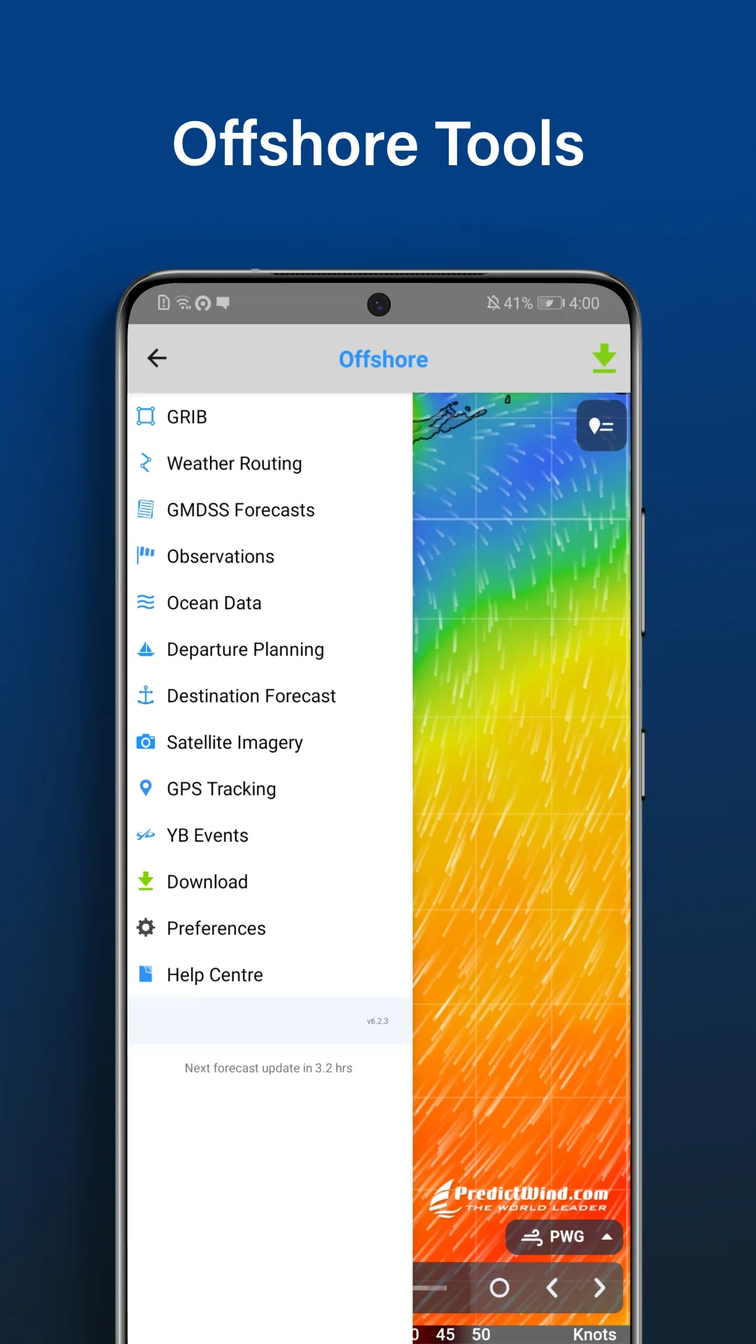
PredictWind Offshore is free with Standard at $19 per month, Professional at $39 per month, and Premium at $49 per month. The free tier covers a single forecast for one location. Standard opens weather routing. Professional adds satellite data and tropical storm tracking. We tested Professional across the 11 offshore legs of the test season.
The weather routing is the headline feature. Enter a route from A to B, specify departure window and boat polars, and PredictWind calculates the optimal route using actual ECMWF, GFS, and PredictWind’s proprietary models. Five of 11 routes recommended a departure delay of 6 to 36 hours; on those passages we followed the recommendation and the conditions matched what the model predicted.
What PredictWind Offshore does well
- Best weather routing on Android for offshore use
- Multi-model forecast averaging
- Tropical storm tracking on Professional tier
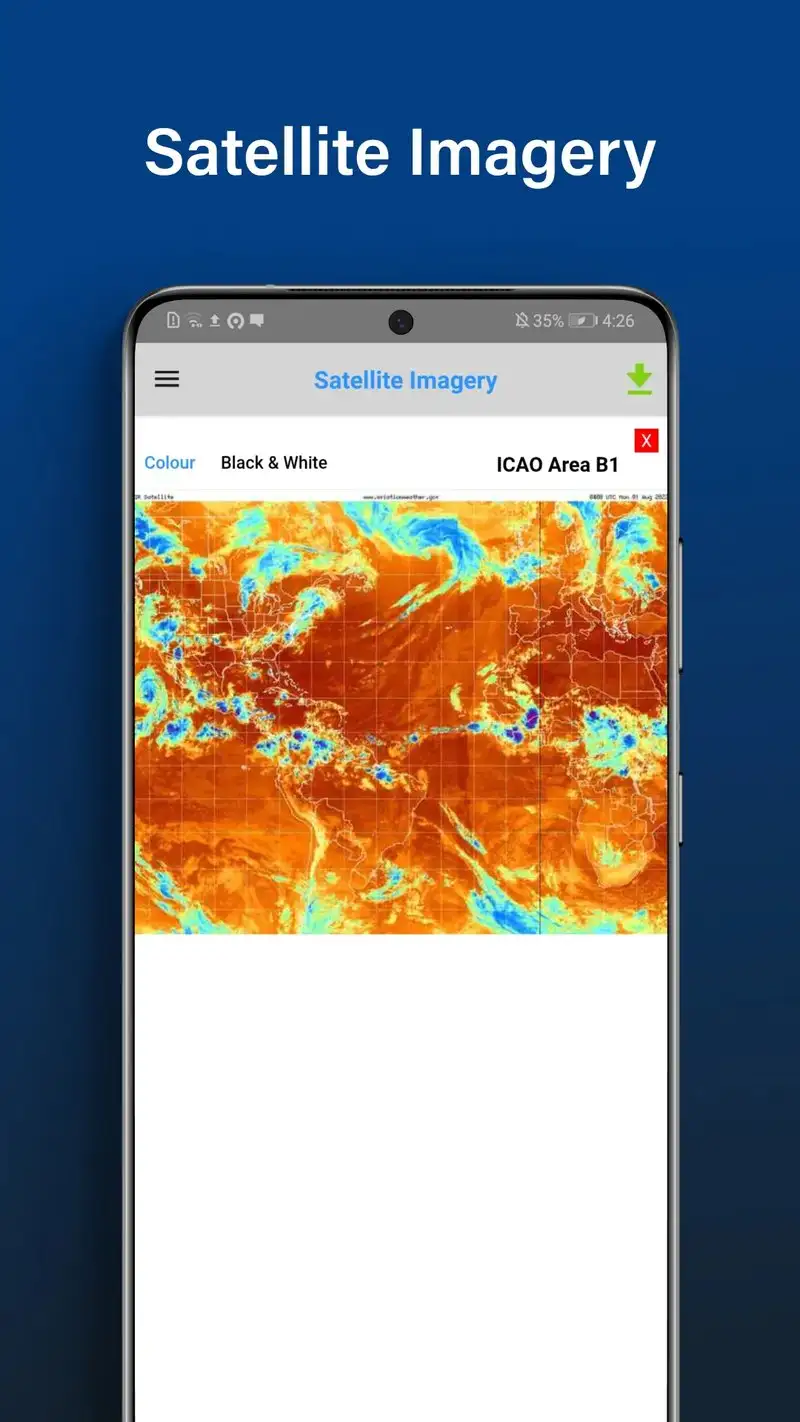
- Satellite imagery integration
- Tide-aware passage planning
Where PredictWind Offshore falls short
The subscription pricing is the highest in this guide. Casual or coastal users do not need this depth. The 3.96 Play Store rating reflects user frustration with the steep learning curve. Some features require additional one-time purchases on top of subscription. The free tier shows very little of the full capability. The interface is utilitarian and feels like specialist software, not consumer.
Which App Do You Actually Need
If you want to identify ships you can see and verify their behavior: MarineTraffic Plus at $34.99 per year. The vessel detail depth is unmatched.
If you tend to track specific commercial vessels for personal or operational reasons: VesselFinder Premium at $39.99 per year. The watchlist workflow is genuinely useful.
If you cruise coastal water and want the industry standard charts: Navionics Boating subscription at $14.99 per year. The chart accuracy is NOAA-grade.
If you cruise US coastal water and want offline charts that work in dead zones: Aqua Map Boating at $19.99 per year. The offline workflow is the best tested.
If you own a Garmin chartplotter: Garmin ActiveCaptain. Free and the two-way sync alone justifies installation.
If you sail and want wind-routed passages without paper-chart planning: Savvy Navvy Premium at $39.99 per year.
If you want the best free marine weather visualization: Windy.app Enhanced. Pro is cheap but the free tier covers most coastal needs.
If you make offshore passages and weather decisions matter: PredictWind Offshore Professional at $39 per month. Worth it for crossings; overkill for coastal cruising.
None of these apps will keep you off the rocks on their own. All eight, used in combination, will let you cross-check the data that matters when the tide changes, the wind builds, and the bulk carrier on the horizon does not slow down.